Naples Digital Archive (concluded)
Moving Through Time and Space
Urban iconography and historical guidebooks provide an excellent tool for understanding the form and the development of a city. This project is the first to combine historical cartographies (georeferenced on the current urban planimetry) with periegetic literature. The result, structured in cartographic layers, allows us to move through time and space of the historical city.
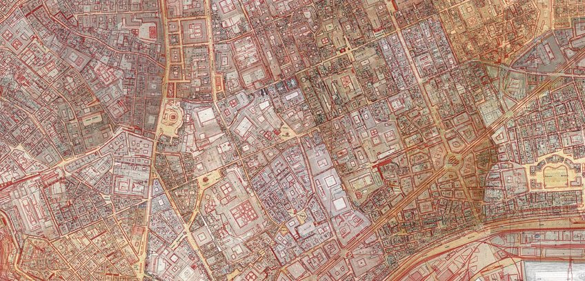
The starting point is the rich pictorial and cartographic material that makes it possible to trace the historical development of Naples. The cornerstones are the maps by Lafréry 1566, Baratta 1629, Petrini 1748, Duca di Noja 1750–1775, Rizzi Zannoni 1790, Marchese 1804–1813, Schiavoni 1872–1880, and those of the cadaster of 1895–1905. The digital platform links the historical maps and images to a complex database that incorporates new archival documents. One of the innovative contributions of the project consists in the elaboration of a "viceroyal map" representing the Neapolitan urban fabric between the second half of the sixteenth and the first half of the eighteenth centuries. It results from the collection, critical study, and digital elaboration (using topographic reference points) of pre-cadastral maps produced on behalf of the religious orders and private landowners during the Spanish and Austrian viceroyalties (1503–1734).
This enables the user to grasp the urban development of Naples from a new perspective. At the same time, this analysis is used as a basis for a critical examination of historical representation methods and their digital processing.
Textual data – excerpts from historical city guides – are connected to buildings, landmarks, and areas in the urban space into the hyper-map. City guidebooks transcribed, annotated, and connected to the cartographic layers via a Gazetteer are those by Pietro de Stefano (1560), Giovanni Tarcagnota (1566), Carlo Celano (1692), and Giuseppe Sigismondo (1788).
The selected area for the long-term study consists of the twelve districts of Naples that appear on maps from the period before the unification of Italy. From 2018–2020, the main focus was on developing an appropriate historical-critical method and on the technical implementation at the interface with the digital archive. The results are (a) the creation of the ‘mappa vicereale’; (b) the detailed exploration of two particularly significant areas in their entire diachronic span from Greek times to the 18th century, namely the insula of the cathedral and the area along the ancient Decumano maggiore (also known as Spaccanapoli).
The digital interface offers the opportunity to explore the city through the combination of maps and texts in layers of time, to penetrate the urban palimpsest, and to visualize the routes of guide literature.
Resources:
Geographical Directory (Gazetteer)
Historical Cartography Layers (1750-1900)
Early Modern Guidebooks (Decumano)
Early Modern Guidebooks (Decumano) – Animated Itineraries